“Les Cireres de L’Arboc” Equipped Route

One Way Data

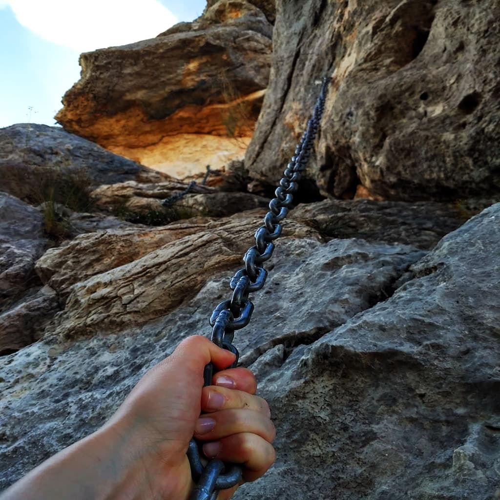
“Les Cireres” route was the trail used by resident of Montfalcó when they would head down to Corçà to work in the coal mines. Nowadays, several sections of it are equipped, with the most exposed parts featuring chains to hold on to. This takes us down to the reservoir, just across from La Pertusa Hermitage.

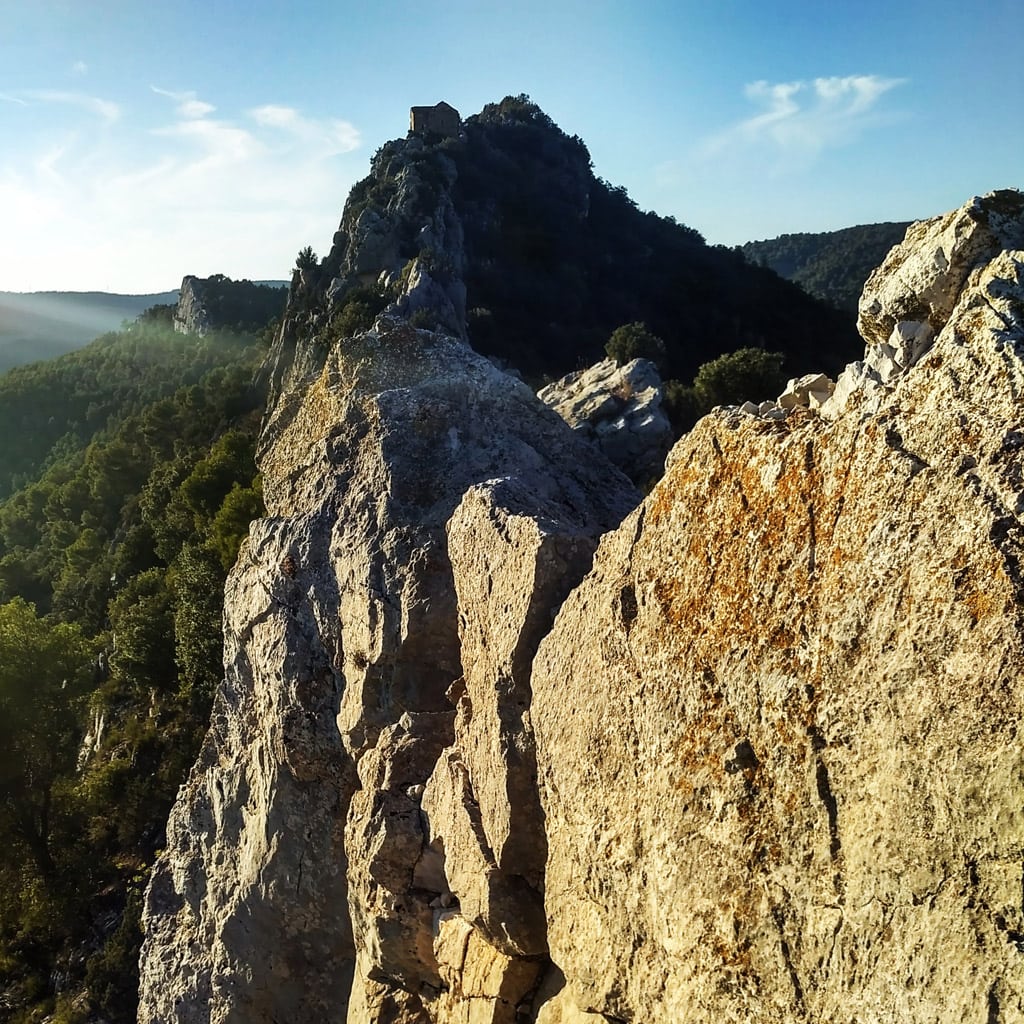
Starting in the car park in Montfalcó, head towards Santa Quiteria and San Bonifacio Hermitage, and there you’ll see the first sign for the rocky mound where the hermitage sits: a blue circle with a white dot in the middle. Climb up the wide ridge and head towards the east. The signs will start to take you to the left and, leaving the ridge behind, and you’ll continue along a channel equipped with chains.

Follow the signs until you reach the reservoir.

Return via the same route.

CARTOGRAPHY AND BIBLIOGRAPHY:

  • Mapa Montsec de L’Estall (“Map of Montsec de L’Estall”), 1:25.000, Publisher: Piolet.

Other ideas

You can choose to complete a circular route instead: Once you’ve reached the reservoir by foot, follow it southwards for around 200 metres, passing the entrance to Urquiza-Olmo Ridge and crossing another ridge that runs parallel to it. You may have to jump across. When you’re at the other side, climb up some old terraces to find the trail that takes you to the old bridge. This joins up with the trail that goes from the mountain refuge to the pier: just follow it back to Montfalcó and you’ll come out right in front of Casa Battle!

You can try this route in either direction, although this is the one we recommend.

Abrir chat
1
!Hola!
¿En que podemos ayudarte? Escríbenos para solventar tus dudas