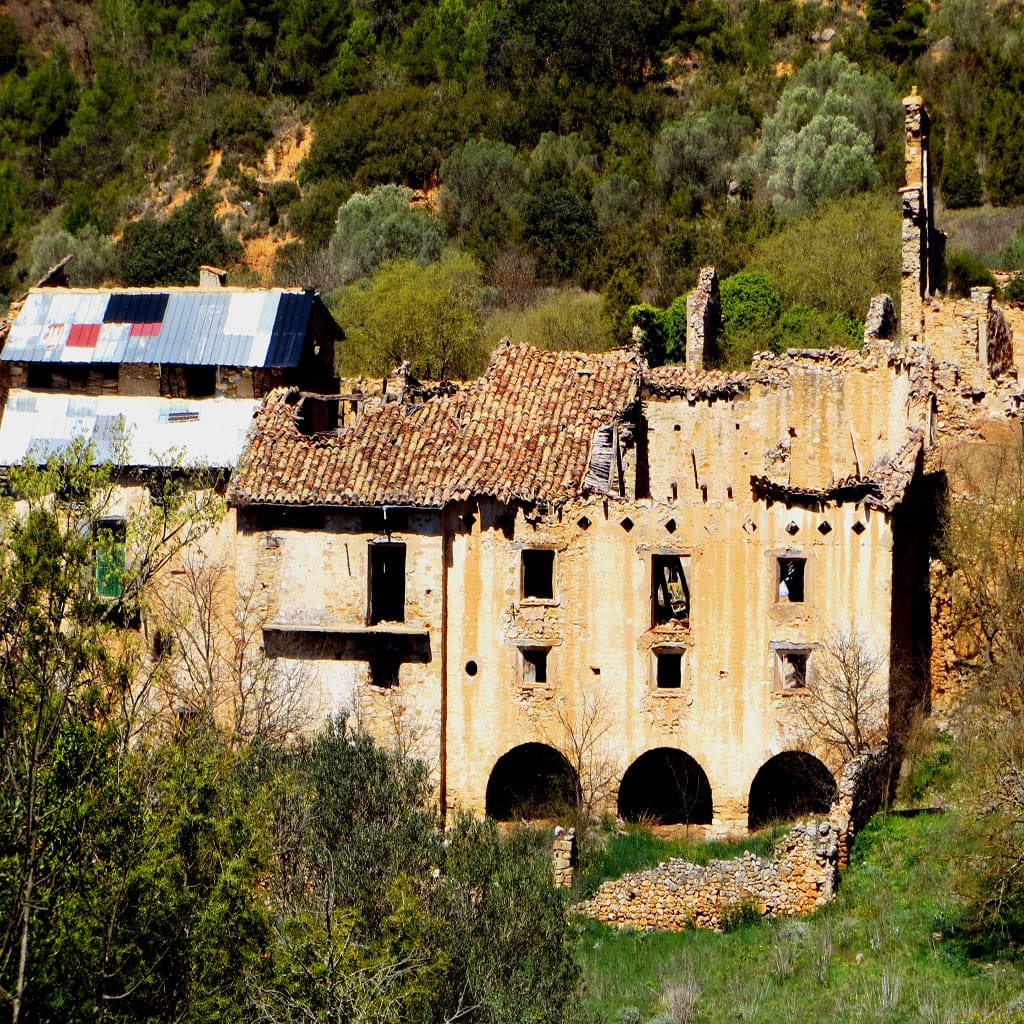
Take a trip to the southernmost part of the mountain range along an old country road and take advantage of the opportunity to discover the two abandoned villages that were once some of the largest settlements in the region. Make sure you do your homework first and find some information on the countless points of interest that you can find along the way.
You can get to Fet either by walking from the mountain refuge or by car, by taking the track leading away from Montfalcó and, at kilometre 7.5 between L’Estall and Mas de Chiquet, turn onto the track that takes you to Fet. It’s not well looked after, so take this into account when choosing this route, and make sure to check that it hasn’t rained in the days leading up to your trip to ensure that it’s dry.
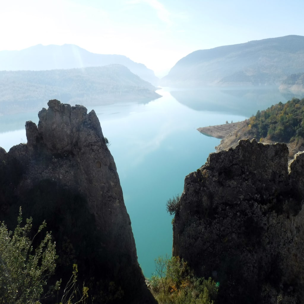
After visiting the church and viewpoint in Fer, leave towards the south by following the yellow-and-white signs for the PR short-distance trail. The first section takes you across some steep terraces that perch high above the drop below, before climbing a rocky trail to Collado de Sabinós hill, which is where you’ll find the crossroads. Here you can decide whether to continue the climb up the hill or to head off in search of Finestras. If you choose to climb up to Sabinós viewpoint, take the left-hand trail and, once at the top, your reward will be 360-degree views of Canelles Reservoir.
Head back the same way and, when you get to the crossroads, turn left onto the PR-HU-45 which takes you to Finestras.
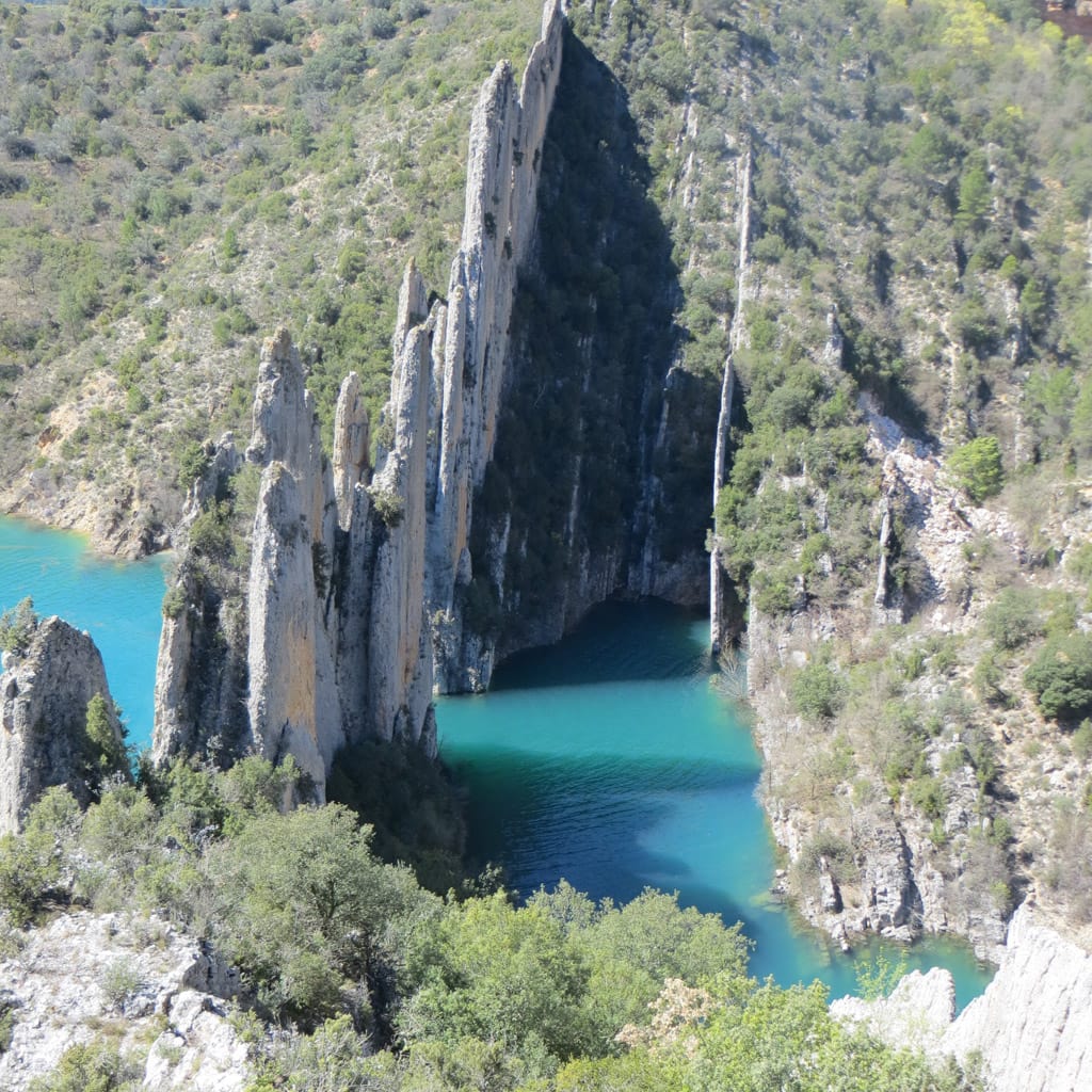
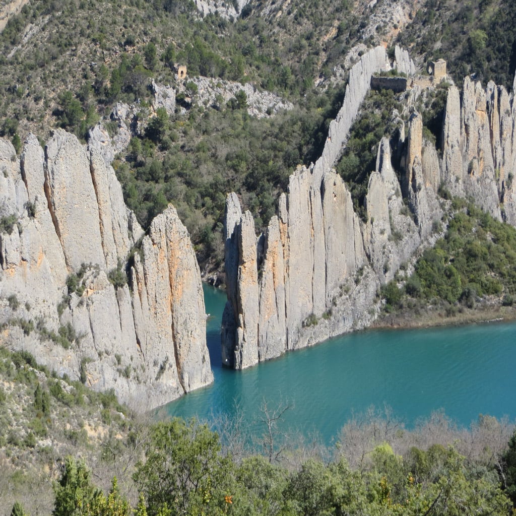
When you get to Finestras, take some time to climb up to San Marcos Hermitage (5 minutes), the best spot for taking the most amazing photos of the wall, and to San Vicente Hermitage (30 minutes), which nestles into the wall itself.
Return the way you came.