Montfalcó Interpretive Route

One Way Data

A perfect route for families during which you will learn all sorts of intriguing facts about the ancient inhabitants of the mountains, as well as the geography, fauna and flora of the area, among other things.
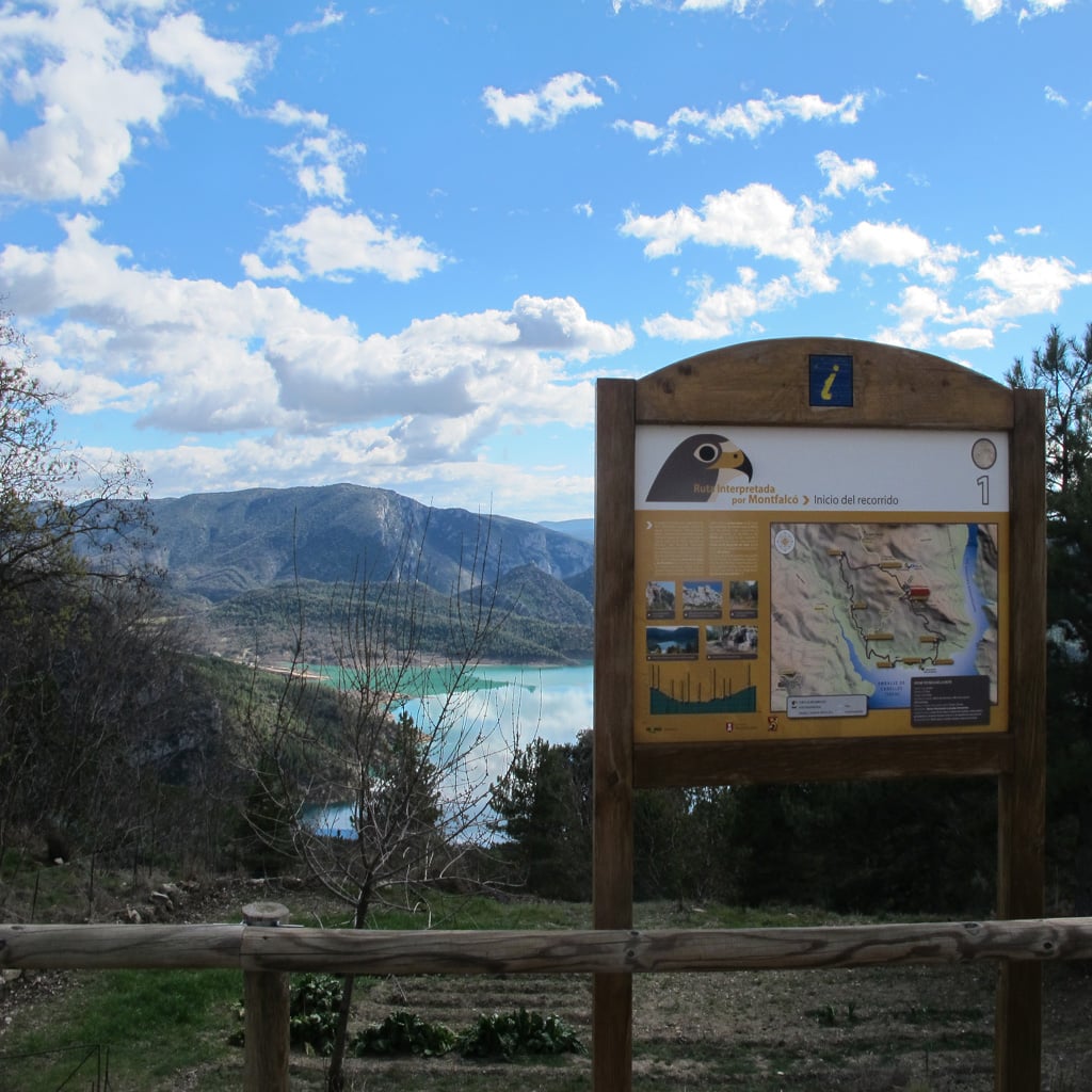
The route begins at the mountain refuge car park, where there is an information board providing details about the route. This is the starting point. Take the trail that leads to Montfalcó pier and head down towards the south, making sure to stop and read the information on the information boards that you’ll find along the way.

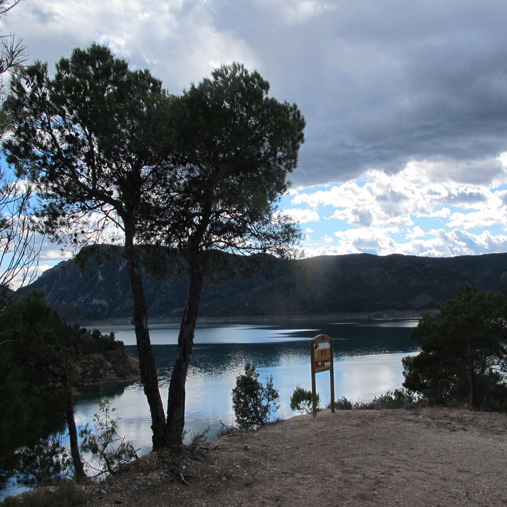
Once you get to the pier, rest for a while at the picnic area or, if you have time, perhaps you can take a dip in the warm waters of Canelles Reservoir!

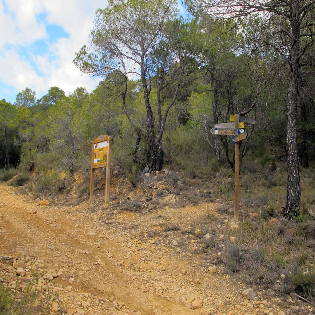
After this breather, follow the banks of the reservoir and then head straight up to the path that leads back to the mountain refuge. You’ll join back up with this path 800 metres away from Montfalcó.

BIBLIOGRAPHY AND CARTOGRAPHY:

  • Paseos y excursiones por el Montsec de Aragón (Huesca) y el Montsec d’Arés (Lérida) (“Walks and Trips in Montsec de Aragón [Huesca] and Montsec d’Ares [Lleida]”). Vv.Aa. Publisher: Prames, 2009.
  • Mapa Excursionista del Montsec I (Montsec de L’Estall y Montsec d’Ares) (“Montsec Explorer Map I [Montsec de l’Estall and Montsec d’Ares]”). Scale: 1:40,000. Publisher: Prames, 2009.
  • Maps from IGN/SGE Scale: 1:50.000. Publisher: Prames.

Other ideas

During the warmer months, why not spend the day at the pier? Take everything you need for a day of sun and water, and head back up to the mountain refuge in the evening once the heat has subsided.

If you want to make the route shorter, follow the trail that goes from Montfalcó to Fet, which you’ll find in just 15 minutes from the pier, taking you back to the mountain refuge more directly.

Abrir chat
1
!Hola!
¿En que podemos ayudarte? Escríbenos para solventar tus dudas